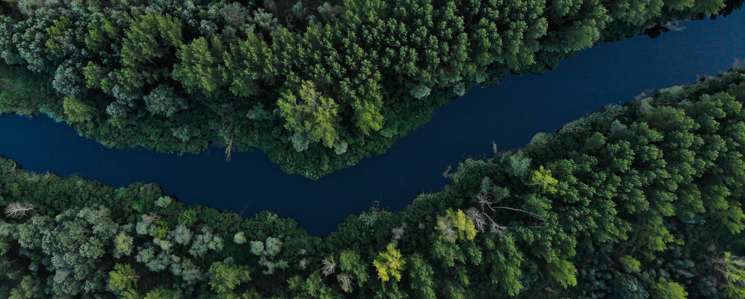
In the late 19th and early 20th Century, the Kootenays were once a hotspot for commerce and trade. Steam powered sternwheelers travelled up and down the Columbia River from Revelstoke down to Trail, connecting the many towns, loggings operations and mining outposts throughout the region by water.
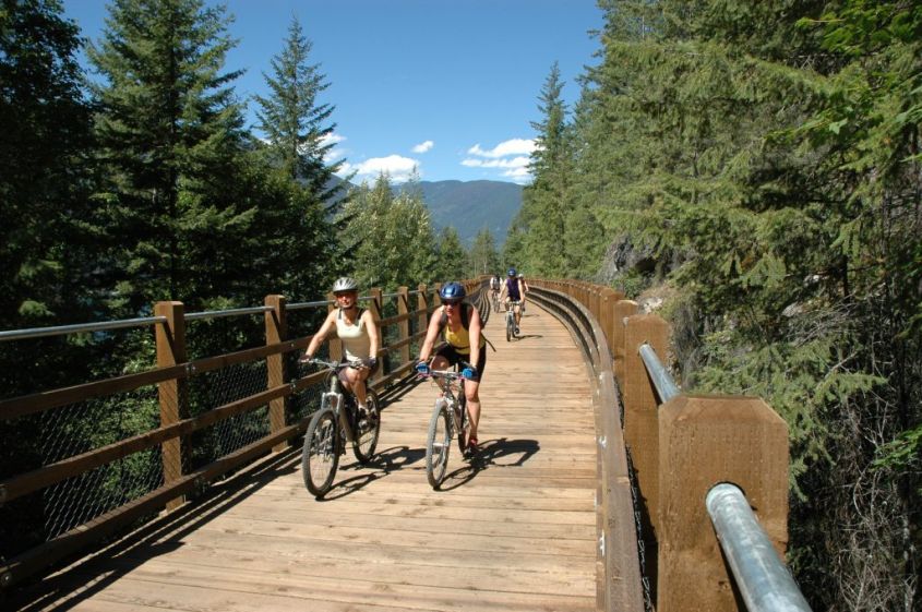
The area was also serviced with a network of railways to bring the region’s resources to Canadian and American markets. Since then, many of these railway lines have been decommissioned and turned into recreational trails. Some of these feature awe-inspiring trestle bridges, and others double as cross country ski trails in the winter.
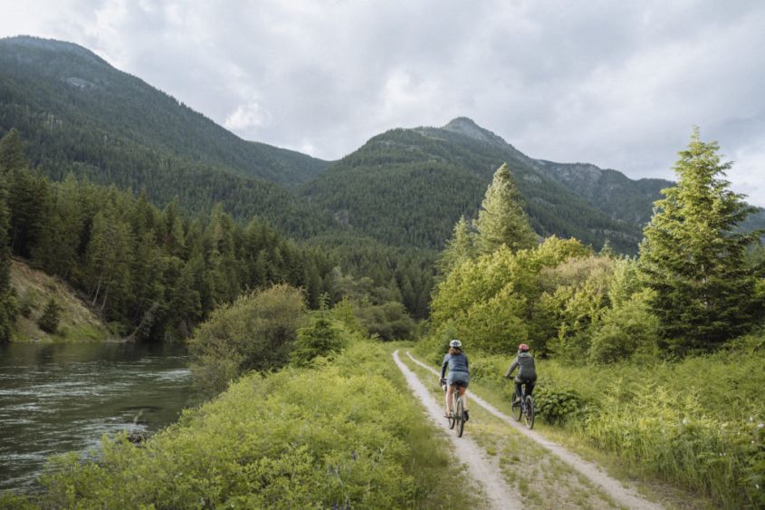
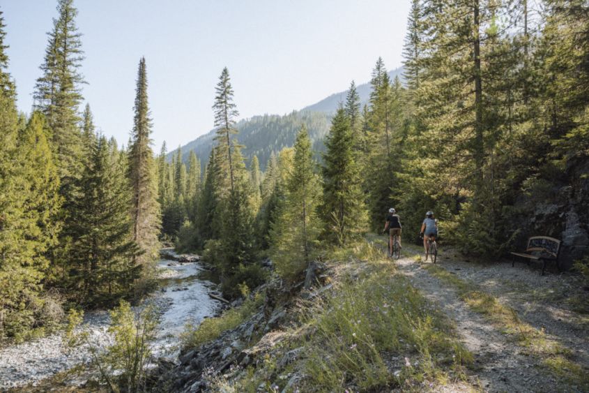
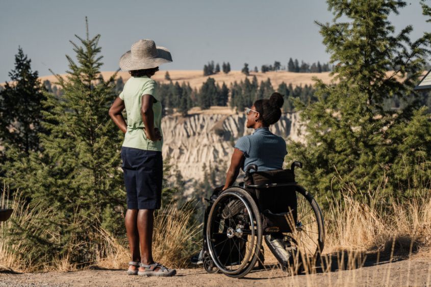
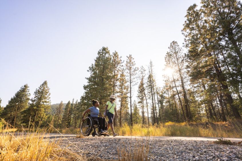
Due to the requirements of the steam engines that traversed them, rail trails are generally among the most accessible and shallow grade trails available, making them a popular destination for local adventurers and seasoned explorers looking for a scenic journey winding along riverbeds and across mountain valleys.
Just a quick warning to visitors – all of these trails pass through bear country, so bring a friend (2 or 4-legged), bear spray, and don’t be afraid to make a little noise.
The Slocan Valley Rail Trail
📍Kootenay River (Highway 3A & 6 Junction) to Slocan
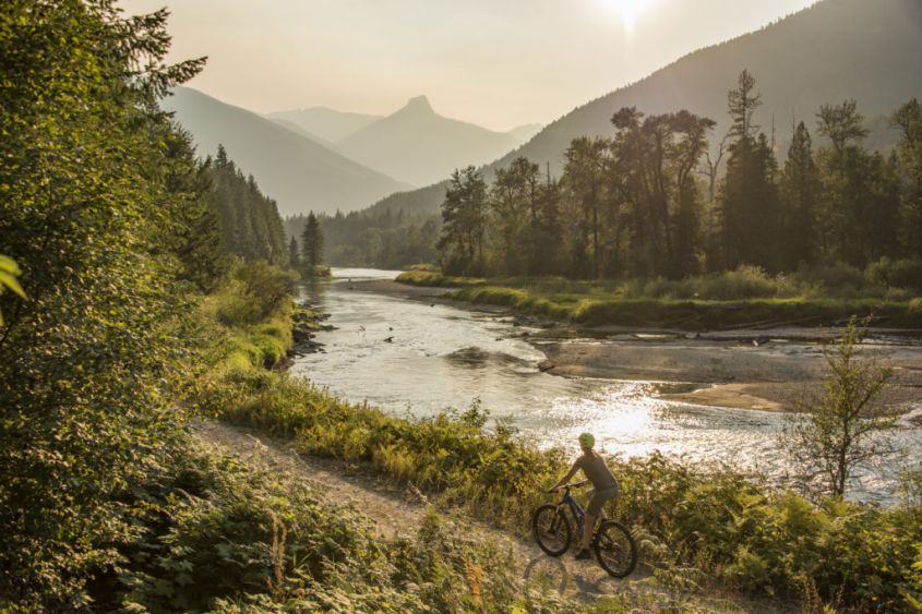
The Slocan Valley Rail Trail follows the route of the former Canadian Pacific Railway (CPR) line that once connected the communities along the valley. Approximately 50 kilometres long, the trail winds along the Slocan River between the Selkirk and Valhalla mountains, before terminating in Slocan City.
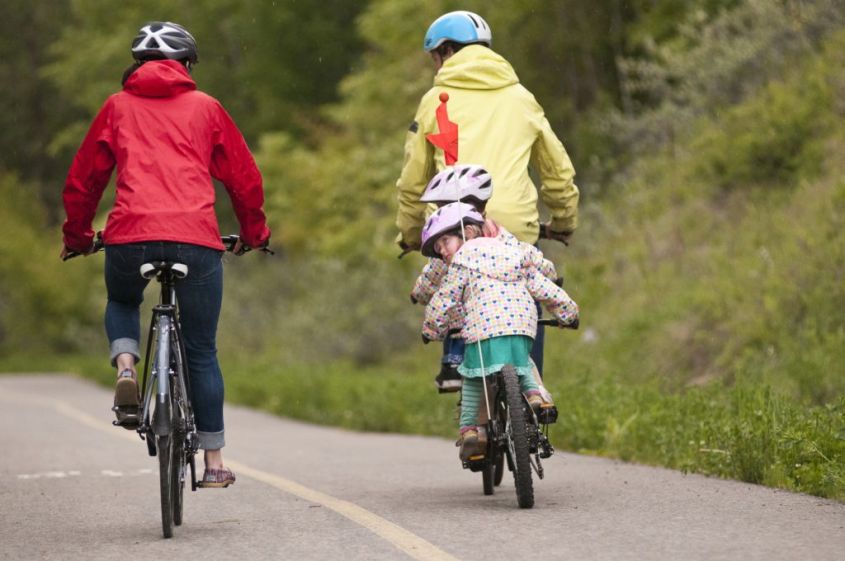
The trail is popular all year, with hikers, cyclists and horseback riders using it in warm months, and cross-country skiers taking full advantage of its rare status as a groomed trail in the winter. It’s well-maintained and relatively flat, making it accessible to people of all ages and fitness levels.
One of the highlights of the Slocan Valley Rail Trail is its rich biodiversity. You’ll probably see several species of birds, small creatures, and deer or elk along the way. The trail passes through three different ecosystems – forests, wetlands, and open meadows – so you can experience the beauty of the valley up close.
Galena Trail
📍Nakusp to Roseberry
The Galena Trail was once part of the Columbia & Western Railway, constructed in the late 19th and early 20th centuries to serve the mining and forestry industries in the region. The railway was the area’s lifeline, transporting massive amounts of silver as well as passengers between the communities along its route.
The 38 kilometre trail follows the former railway line, running parallel to the Slocan River. It stretches from the town of Rosebery, near New Denver, to the old mining community of Three Forks, offering scenic views of the surrounding mountains and forests along the way.
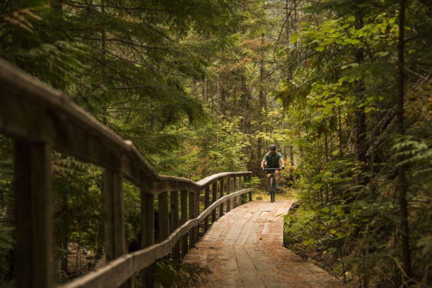
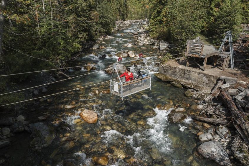
If you’re planning a day trip to New Denver, but haven’t explored the Galena Trail, it’s a huge asset to this small community – very well maintained, and takes visitors through some pretty impressive old growth forests, across bridges, trestles, and rivers (via cable car, if you like!).
The Great Northern Rail Trail
📍Nelson to Salmo
Originally part of the Great Northern Railway (later merged into the Burlington Northern Railroad), this rail trail extends from Troupe Junction (just outside of Nelson) to Salmo, with Nelson partway in the middle.
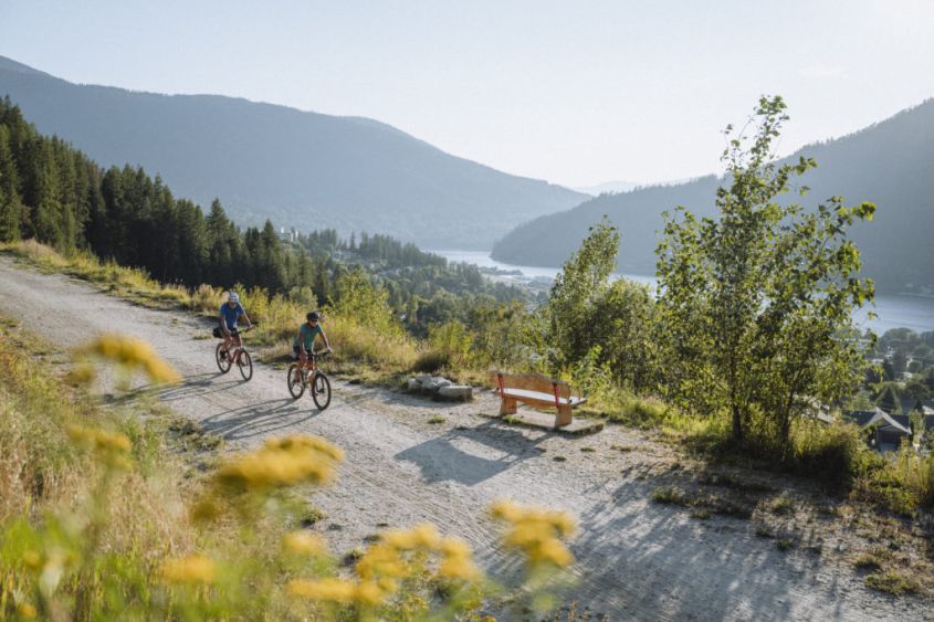
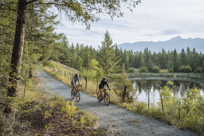
Take the trail from the access point above Selkirk College in Nelson downhill on the gently sloping gravel path for a short afternoon bike ride (or a very long walk) to Troupe Point beach (10km). These days with an e-bike, the grade back to Nelson isn’t a problem, but even with a “classic” bike, the grade is light enough older children will make the trip back without resorting to walking. It’s an easy trail with fantastic lake views and several impressive trestles with an optional swim at the end – what’s not to love?😍
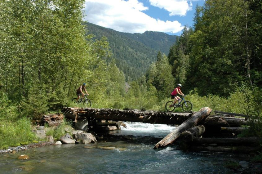
Follow the rail trail south towards Salmo to access the bulk of the trail: 30 kilometres of relatively flat trail suitable for walking, cycling, or horseback riding that stretches over sturdy trestle bridges and along the scenic Salmo River. After you reach Ymir, the trail transitions to mixed-use with recreational motor vehicles, and the trail also becomes more compact and smooth. As you approach Salmo, you might see groups of people floating down the river on inner tubes or in kayaks – a popular summer activity in the area.
If you’re not in the mood for the whole 30km, stop off on your journey at Cottonwood Lake! Located 20km south of Nelson and accessible via the rail trail. Cottonwood Lake is a great spot to take the whole family in Spring and Summer: swim, fish, kayak, hike, or canoe on this picturesque BC lake. There are well-maintained trails around the lake to explore, several elevated platforms offering prime viewpoints, and picnic tables to refuel before heading back to town.
Northstar Rails to Trails
📍Cranbrook to Kimberly
The Northstar Rail Trail follows a former railway corridor that was part of the historic Canadian Pacific Railway (CPR) line. The 28km trail leads from Kimberly (Canada’s highest city) to Cranbrook, and is paved, making this a trail that is accessible to all. When travelling South through forests and grasslands, the trail descends 240 metres as you walk or ride along the edge of the Rocky Mountains, crossing over the St Mary River.
Seasonal Advice:
Summer: Kids might find the whole trail a bit on the long side, but there’s a small park in Marysville, with a gas station serving ice cream that makes for a great stopping point. Kids would do well to start on the Kimberly side and travel back via car to avoid the uphill return trip.
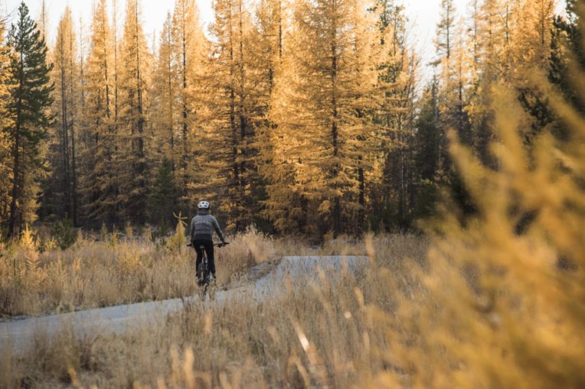
Fall: The perfect time for to visit, as the alpine larch trees and abundant deciduous trees will be showing off their most vibrant colours!
Winter: Break out your cross country skis – perfect for this well-maintained, paved trail.
Chief Isadore Rail Trail
📍Cranbrook to Wardner
The Chief Isadore Trail was also part of the Canadian Pacific Railway (CPR) line, extending south from Cranbrook and terminating at Wardner. The trail is named after Chief Isadore, a prominent leader of the Ktunaxa First Nation who played a significant role in the region’s history as a fierce defender of the Ktunaxa culture and their rights.
The trail extends over 33 kilometers through forests, wetlands, and along the shores of the Kootenay River, with some killer views of the Rocky Mountains. 13km of this trail winds along the Isadore Canyon, offering some breathtaking viewpoints, before entering the Mayook Bypass , which is 17km with a more challenging climb. This particular trail is half rail grade and half gravel enhanced singletrack.
Stroll, bike, ski, or ride – wherever you start, you’re in for a ride through the Kootenays’ historic roots. These railways may be long gone, but their impact shaped this region, and left us with some pretty spectacular recreational trails!
If you’re looking for more ways to explore the Kootenays, here’s some day trips you can check out, and let us know on social media if you have any other accessible trails you’d like to recommend!
